Wisconsin Map – Top 3 Cities and all 72 Counties
Are you planning a road trip, or do you just want to know the different cities and counties in Wisconsin? This guide will help you understand where everything is on a Wisconsin map. We’ll cover everything from the top cities, the counties, and the roadways. Even if you don’t know where Wisconsin is on a map, this guide will help you find it and even provide you with a digital or printable version of a Wisconsin map!
Muberr is a local moving company, and we know Wisconsin inside and out. We’re here to make your next move as smooth and stress-free as possible. Whether you’re moving in or out of Wisconsin, we are here to help. Call us at 920-662-4863 or fill out our online moving form, and one of our friendly Sales Consultants will reach out quickly.

Plan your next move with Muberr.
Table of Contents
ToggleWhere is Wisconsin on the Map?
Wisconsin is located in the Midwest, north of Chicago and south of Canada. It is bordered by Lake Michigan to the east and Lake Superior to the north. The major cities near Wisconsin are Chicago and Minneapolis.
States bordering Wisconsin
Wisconsin is bordered by five states:
- Minnesota, located just West of Wisconsin.
- Illinois directly South as well as Indiana.
- Michigan from both the North (Upper Peninsula) as well as the East, just across Lake.
In the next section, we’ll discuss the major cities in Wisconsin.
Wisconsin Map with Cities
Wisconsin is home to only one larger city but has other cities that are well known around the country because of sports teams you might have heard of.
- Milwaukee – The largest city and home of the Milwaukee Bucks basketball team.
- Madison – The state capital, known for its university and Badgers college football team.
- Green Bay – World-famous NFL team, the Green Bay Packers.
Best Cities to Live in Wisconsin
If you’re thinking about moving to Wisconsin, here are the top cities to move to.
- Green Bay – Voted as the top city to move to in the United States. Check out our guide to the best neighborhoods.
- Appleton – Known for its lively nightlife, good schools, and shopping. Check out our guide to the best neighborhoods.
Another area worth mentioning is Door County. It is packed with nature, has great views, and is an excellent retirement spot.
Wisconsin County Map
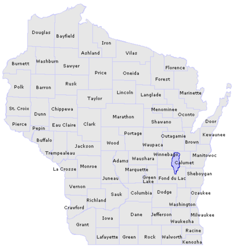
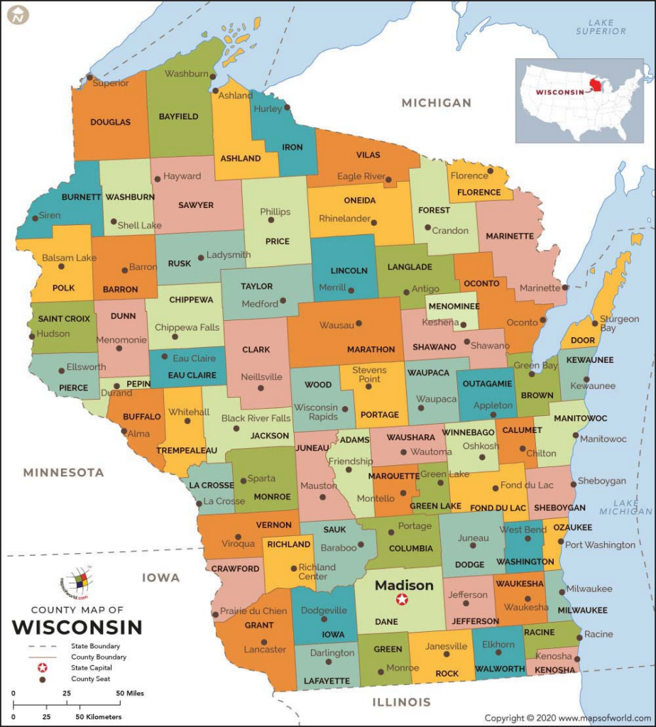
Wisconsin is made up of 72 counties. Here is a detailed Wisconsin map outlining all the counties.

Now, let’s take a look at all the major highways that connect all the cities on a Wisconsin map!
Road Map of Wisconsin
Here is a Wisconsin map of all the major highways. The map is available to you for free, straight to your email. There you can print it or download it and keep it on your phone or computer.
Wisconsin Map

Wisconsin Map FAQ
What is Wisconsin famous for?
Wisconsin is famous for cheese, the Green Bay Packers, and Lambeau Field. Locals love checking out Door County for amazing nature and Milwaukee for big city life. The capital, Madison, is known for the Wisconsin Badgers and the university.
What states border Wisconsin?
Wisconsin is bordered by:
- Minnesota, located just West of Wisconsin.
- Illinois directly South as well as Indiana.
- Michigan from both the North (Upper Peninsula) as well as the East, just across Lake.
What is the richest town in Wisconsin?
The richest town in Wisconsin is River Hills, a suburb of Milwaukee.
Can I get a printable road map of Wisconsin?
Yes! You can find it on the Wisconsin DOT website.
